Methodology
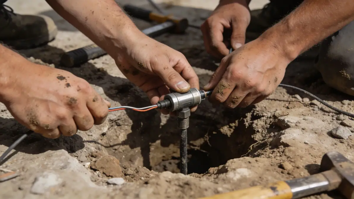
Our geotechnical investigation methodology in Billings follows a phased approach, beginning with a thorough review of existing geological maps and site history. We conduct subsurface explorations using standard penetration testing (SPT) per ASTM D1586, typically advancing borings to depths of 10–20 meters to characterize soil stratigraphy and groundwater conditions. Samples are retrieved for laboratory testing, including index properties, compaction, and strength tests. Our team integrates these data with site-specific seismic hazard assessments per ASCE 7 to inform foundation design parameters. We employ a rigorous quality assurance protocol, ensuring each investigation meets the highest standards of accuracy and reliability for the local environment.
Reference Technical Parameters
| Parameter | Reference Value |
|---|---|
| Predominant soil type | Expansive clays (Bentonite shale), alluvial silts and sands |
| Maximum seismic acceleration (PGA) | 0.15–0.25 g (ASCE 7 site class D) |
| Typical groundwater level | 2–8 meters below ground surface (varies seasonally) |
| Bedrock depth | Variable, typically 10–30 meters (Fort Union Formation) |
| Typical N60 range | 5–30 blows/30 cm (clays and sands) |
Local Considerations — Billings
Billings' geology is dominated by the Fort Union Formation, with expansive clays prone to shrink-swell cycles that challenge foundations. The Yellowstone River corridor features alluvial deposits with variable groundwater levels, requiring careful dewatering and bearing capacity analysis. Seismic hazard is moderate, with a PGA up to 0.25 g per ASCE 7, demanding site-specific response spectra. Our team collaborates with local contractors to address these conditions, offering services such as spt boring for subsurface profiling. For projects requiring detailed soil behavior, we leverage our soil mechanics laboratory to assess swell potential and consolidation characteristics.
Request a Quote
Our team reviews your project and issues an initial report at no cost.
Or write us directly at [email protected]
Services in Billings
Applicable Standards
- ASTM D1586
- ASCE 7-22
- International Building Code (IBC) with Montana amendments
- ASTM D4318 (Atterberg Limits)
- ASTM D698 (Standard Proctor)
Frequently Asked Questions
What are the typical soil conditions in Billings?
Billings predominantly features expansive clays derived from the Fort Union Formation, along with alluvial sands and silts near the Yellowstone River. These soils exhibit high plasticity and shrink-swell potential, requiring specialized foundation design to mitigate movement.
Does Billings have seismic design requirements?
Yes, Billings is in seismic design category D per ASCE 7, with a maximum considered earthquake spectral response acceleration (S_S) of approximately 0.25 g. Geotechnical reports must include site-specific response spectra and liquefaction assessment for critical structures.
Are geotechnical studies mandatory for construction in Billings?
While not always legally mandated for all projects, most local building departments require geotechnical investigations for new structures, especially those in areas with expansive soils or high seismic risk. Our firm provides comprehensive studies to meet these requirements.