Methodology
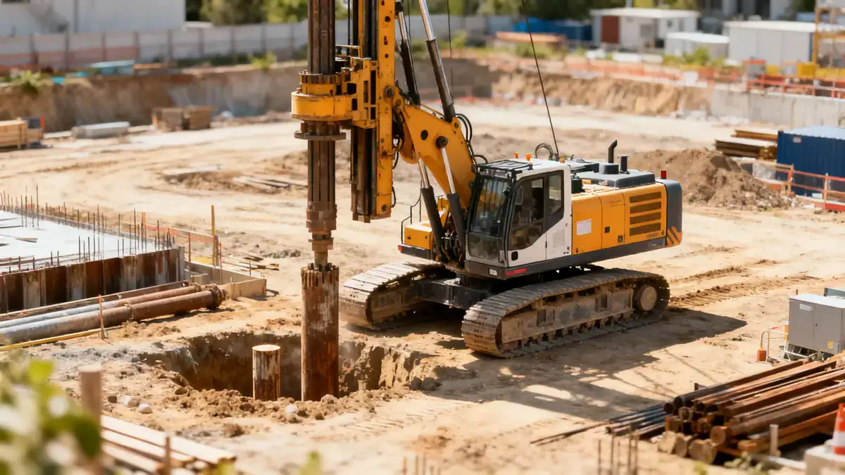
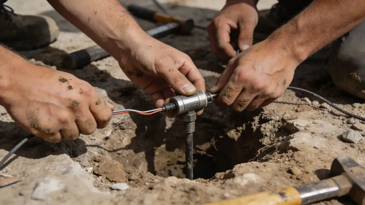
Our methodology for geotechnical engineering in Birmingham Alabama begins with a comprehensive site reconnaissance and review of existing geological maps. We then perform subsurface explorations using spt boring to obtain soil samples and measure penetration resistance. Field data are supplemented with laboratory testing to classify soils and determine engineering properties. We analyze slope stability, bearing capacity, and settlement potential using accepted engineering principles. All work adheres to ASTM and local building codes, ensuring reliable recommendations for foundation design and earthwork in Birmingham Alabama.
Reference Technical Parameters
| Parameter | Reference Value |
|---|---|
| Predominant soil type | Sandy clay and clayey sand, with gravel layers |
| Maximum seismic acceleration (PGA) | 0.15g (ASCE 7-16, Site Class C) |
| Typical groundwater level | 10 to 25 feet below grade |
| Bedrock depth | 20 to 80 feet (Palmerdale, Red Mountain formations) |
| Typical N60 range (SPT) | 8 to 35 blows per foot |
Local Considerations — Birmingham Alabama
Birmingham Alabama's geology is characterized by the Valley and Ridge province, with folded sedimentary rocks including limestone, sandstone, and shale. Soils are often residual, derived from weathering of these rocks, and can vary significantly over short distances. The city's seismic hazard is moderate, with design accelerations per ASCE 7 requiring site-specific response analysis for critical structures. Karst features, such as sinkholes, are present in areas underlain by limestone, necessitating careful subsurface exploration. Our team integrates these local factors into every geotechnical engineering project in Birmingham Alabama, drawing on experience from our geotechnical engineering en Atlanta hub.
Request a Quote
Our team reviews your project and issues an initial report at no cost.
Or write us directly at [email protected]
Services in Birmingham Alabama
Applicable Standards
- ASTM D1586 – Standard Test Method for Standard Penetration Test (SPT)
- ASCE 7-16 – Minimum Design Loads and Associated Criteria for Buildings
- International Building Code (IBC) – adopted by Alabama
- ASTM D2487 – Standard Practice for Classification of Soils for Engineering Purposes
Frequently Asked Questions
What are the typical soil conditions for geotechnical engineering in Birmingham Alabama?
Soils in Birmingham Alabama are predominantly sandy clays and clayey sands derived from weathered sedimentary rock. Groundwater is typically encountered at depths of 10 to 25 feet. Bedrock depth varies from 20 to 80 feet, with limestone and sandstone formations common in the area.
Is seismic design required for geotechnical engineering in Birmingham Alabama?
Yes. Birmingham Alabama is in a moderate seismic zone per ASCE 7-16, with a maximum considered earthquake spectral response acceleration (S_s) of approximately 0.3g. Site-specific geotechnical analysis is recommended for important structures to determine appropriate design parameters.
Are geotechnical studies mandatory for construction in Birmingham Alabama?
While not always legally required for all projects, most building departments in Birmingham Alabama recommend or require geotechnical reports for new construction, especially for commercial buildings and multi-story structures. Lenders and insurers also often mandate such studies to mitigate risk.