
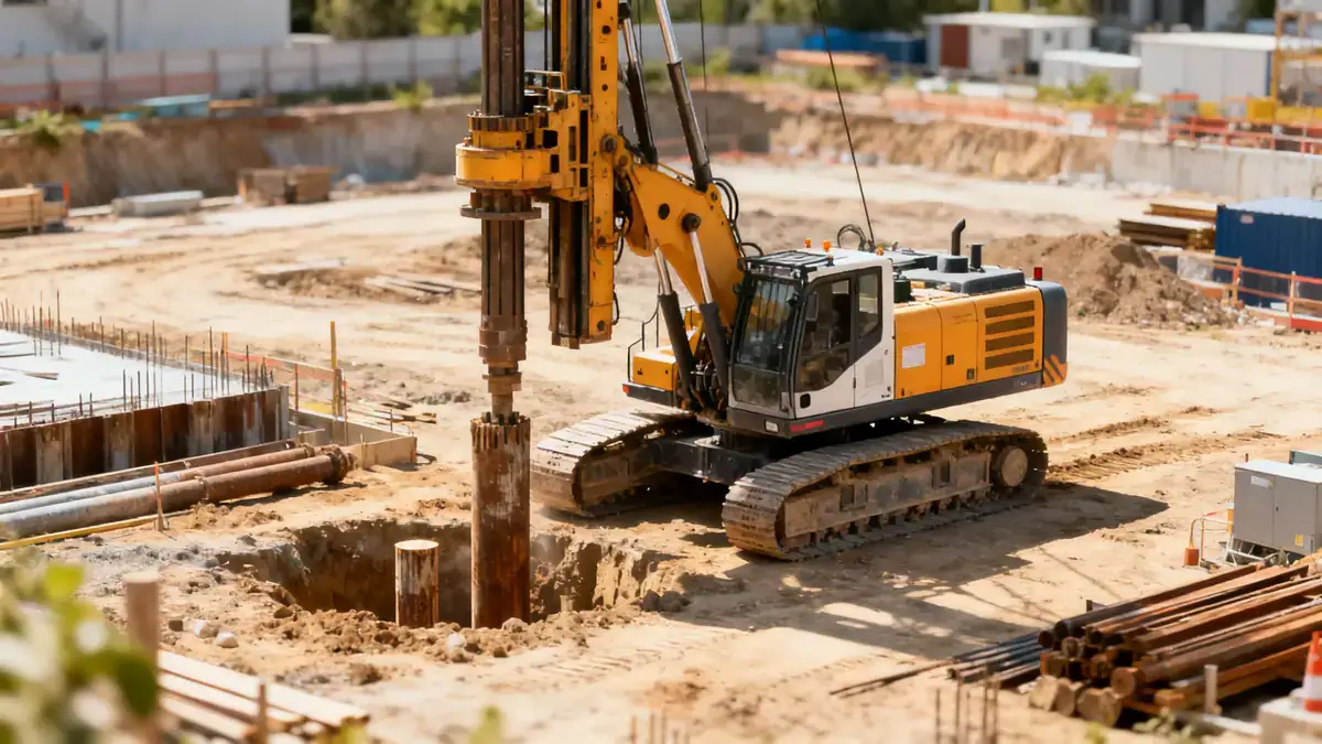
Methodology
Our methodology in Chandler begins with a thorough review of existing geological data and site history. We then conduct subsurface explorations, including spt boring at regular intervals to characterize soil strata and obtain samples for laboratory testing. Field tests follow ASTM D1586 standards, with sampling frequency typically every 1.0 to 1.5 meters to a depth of 8 to 15 meters for residential projects. Laboratory analyses, such as grain size distribution and Atterberg limits, complement field data to develop a complete geotechnical profile. This systematic approach ensures reliable parameters for foundation and earthwork design.
Reference Technical Parameters
| Parameter | Reference Value |
|---|---|
| Predominant soil type | Silty sand (SM) and poorly graded sand (SP) |
| Maximum seismic acceleration (PGA) | 0.2g to 0.3g (ASCE 7-16, Site Class C/D) |
| Typical groundwater level | 10 to 30 feet below ground surface |
| Bedrock depth | Greater than 100 feet (alluvium over sedimentary rock) |
| Typical N60 range | 10 to 50 blows per foot (variable with depth) |
Local Considerations — Chandler
Chandler's geology is dominated by alluvial fan deposits from the Salt River, resulting in interbedded sands, silts, and gravels. The shallow groundwater table in the southern parts of the city can impact excavation and foundation design. Seismic hazard is moderate, with peak ground accelerations of 0.2g to 0.3g as per ASCE 7-16. Older neighborhoods may have undocumented fill or expansive clays, requiring careful investigation. Our team leverages regional experience from our hub, geotechnical engineering en Phoenix, to address these local challenges. We also provide slope stability evaluations for sites with significant grade changes or near canal banks.
Request a Quote
Our team reviews your project and issues an initial report at no cost.
Or write us directly at [email protected]
Services in Chandler
Applicable Standards
- ASTM D1586 (Standard Penetration Test)
- ASTM D2487 (Unified Soil Classification System)
- ASCE 7-16 (Minimum Design Loads for Buildings)
- IBC 2021 (International Building Code)
- City of Chandler Geotechnical Report Guidelines
Frequently Asked Questions
What are the typical soil conditions in Chandler for foundation design?
Chandler soils are primarily alluvial sands and silts with occasional gravel layers. The dominant soil types are silty sand (SM) and poorly graded sand (SP). These soils generally have moderate bearing capacity, but loose sands can settle under dynamic loads. Groundwater is typically deep (10–30 ft), reducing liquefaction risk except in deeper saturated layers.
What seismic design considerations apply to projects in Chandler?
Chandler is located in a moderate seismic zone. The maximum considered earthquake (MCE) spectral response acceleration (S1) is about 0.3g for short periods, resulting in a design PGA of 0.2g to 0.3g per ASCE 7-16. Site Class C or D is typical, requiring site-specific response analysis for essential facilities. Liquefaction potential is generally low due to deep water table, but should be evaluated for deep foundations.
Is a geotechnical investigation mandatory for new construction in Chandler?
Yes, the City of Chandler requires a geotechnical report for most new building permits, especially for commercial, industrial, and multi-family residential projects. The report must include subsurface exploration, laboratory testing, and foundation recommendations. Single-family homes on conventional lots may be exempt, but a geotechnical evaluation is strongly advised to mitigate risk.