Methodology
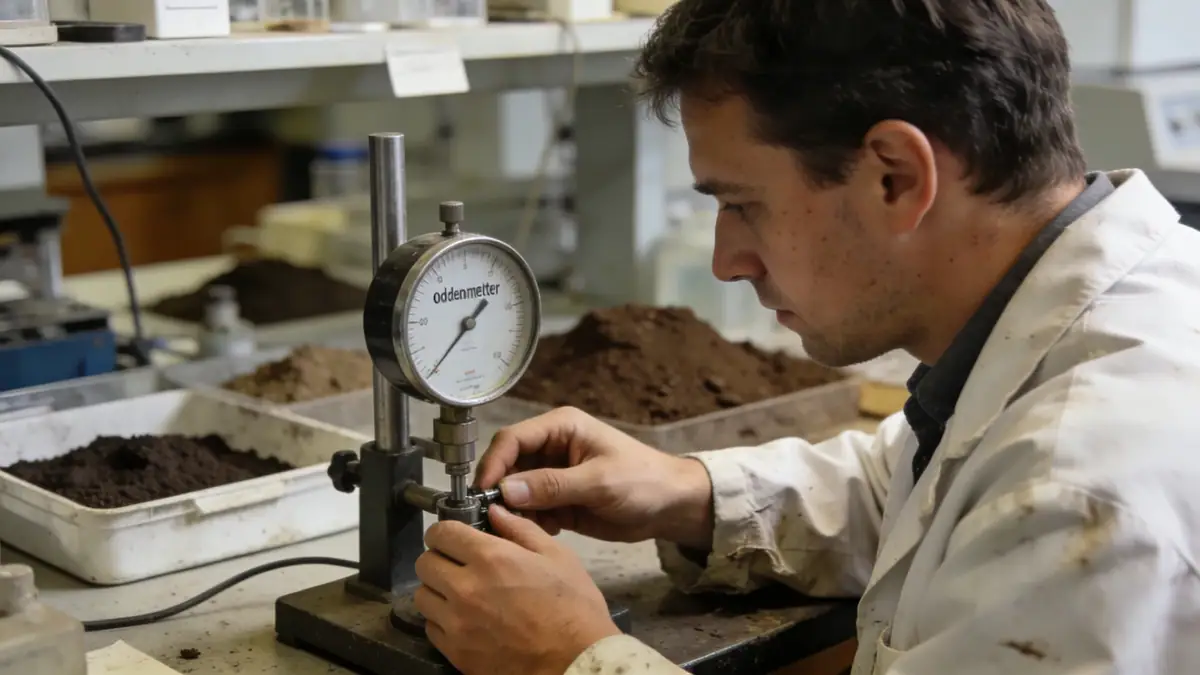
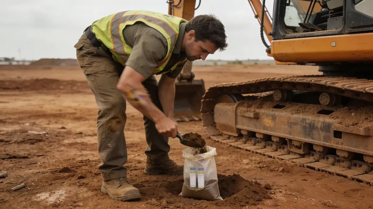
Our methodology for geotechnical engineering in Chesapeake begins with a comprehensive desktop study of USGS maps, NRCS soil surveys, and nearby borings. We then perform spt boring using ASTM D1586 methods at 1.5 m intervals to 15 m depth, supplemented by hand augers in shallow zones. Samples are logged and classified in our soil mechanics laboratory for moisture content, Atterberg limits, and grain size distribution. Groundwater levels are monitored via piezometers during and after drilling. We integrate these data into numerical models for bearing capacity and settlement analysis, ensuring compliance with local codes.
Reference Technical Parameters
| Parameter | Reference Value |
|---|---|
| Predominant soil type | Sand, silty sand, and organic clay (coastal plain deposits) |
| Maximum seismic acceleration (PGA) | 0.15 g (ASCE 7-16, Site Class D) |
| Typical groundwater level | 1.5–3.0 m below grade |
| Bedrock depth | >30 m (unconsolidated sediments) |
| Typical N60 range | 4–15 (blow counts per 0.3 m) |
Local Considerations — Chesapeake
Chesapeake sits atop the Atlantic Coastal Plain, characterized by unconsolidated sands, silts, and clays with occasional peat lenses. Groundwater is typically shallow (1.5–3 m), requiring dewatering considerations for excavations. The region is in Seismic Design Category B per ASCE 7, with low to moderate seismic hazard. However, liquefaction potential exists in loose saturated sands. Our team has extensive experience with foundation solutions for waterfront properties in the Southern Branch of the Elizabeth River and for commercial sites along Battlefield Boulevard. We coordinate with the City of Chesapeake's permitting office on stormwater management and soil erosion control. For broader regional context, see our geotechnical engineering services from Philadelphia hub.
Request a Quote
Our team reviews your project and issues an initial report at no cost.
Or write us directly at [email protected]
Services in Chesapeake
Applicable Standards
- ASTM D1586 (Standard Penetration Test)
- ASCE 7-16 (Minimum Design Loads and Associated Criteria for Buildings and Other Structures)
- Virginia Uniform Statewide Building Code (USBC)
- City of Chesapeake Stormwater Management Ordinance
Frequently Asked Questions
What are the typical soil conditions in Chesapeake?
Soils consist mainly of coastal plain sands, silty sands, and organic clays. Shallow groundwater is common, typically 1.5–3 m deep. Peat and muck deposits are found near the Dismal Swamp and along waterways, requiring special foundation treatment.
Is seismic design required for projects in Chesapeake?
Yes, per ASCE 7-16, Chesapeake falls under Seismic Design Category B. While seismic hazard is low-to-moderate, a site-specific response analysis may be needed for critical facilities. Our team evaluates liquefaction potential in loose saturated sands.
Are geotechnical investigations mandatory for new construction in Chesapeake?
The Virginia USBC requires a geotechnical report for most commercial and multi-family buildings. Single-family homes typically require a soil bearing capacity verification. Local amendments may impose additional requirements for flood-prone or karst areas.