Methodology

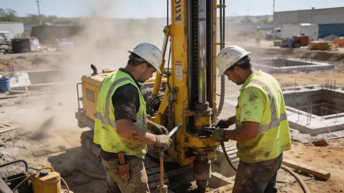
Our methodology in Glendale California follows a systematic approach beginning with a comprehensive site reconnaissance and review of existing geological maps. We perform subsurface explorations including standard penetration testing (SPT) per ASTM D1586 to characterize soil stratigraphy and strength. Samples are analyzed in our soil mechanics laboratory for index properties, compaction characteristics, and shear strength. For sites near fault lines or steep slopes, we conduct detailed slope stability analyses. Our team integrates these data to develop site-specific seismic design parameters, referencing ASCE 7 and California Building Code. This rigorous process ensures that our recommendations address the unique challenges of Glendale California's geology.
Reference Technical Parameters
| Parameter | Reference Value |
|---|---|
| Predominant Soil Type | Alluvial silty sands and gravels, with clay lenses |
| Maximum Seismic Acceleration (PGA) | 0.5g to 0.7g (ASCE 7 Site Class D) |
| Typical Groundwater Level | 10 to 30 feet below ground surface (seasonal variation) |
| Bedrock Depth | 50 to 200 feet (sedimentary and granitic bedrock) |
| Typical N60 Range (SPT) | 10 to 40 blows per foot (variable with depth) |
Local Considerations — Glendale California
Glendale California lies within the Transverse Ranges geomorphic province, characterized by fault-bounded basins and alluvial fans. The San Gabriel Mountains to the north generate steep alluvial slopes, while the Los Angeles River floodplain presents deep alluvium with high liquefaction potential. Our team has conducted numerous investigations in Glendale California, encountering fill soils in older developments and undocumented landfills near the Verdugo Wash. Seismic design must account for near-source effects from the San Andreas and Raymond faults. We recommend referencing our geotechnical engineering en Los Angeles hub for broader regional context. Additionally, for projects on hillsides, we provide specialized slope stability assessments to mitigate landslide risks.
Request a Quote
Our team reviews your project and issues an initial report at no cost.
Or write us directly at [email protected]
Services in Glendale California
Applicable Standards
- California Building Code (CBC) 2022
- ASCE 7-16 Minimum Design Loads and Associated Criteria for Buildings and Other Structures
- ASTM D1586 Standard Test Method for Standard Penetration Test (SPT)
- City of Glendale Municipal Code – Grading and Excavation Regulations
- California Geological Survey (CGS) Seismic Hazard Mapping
Frequently Asked Questions
What are the typical soil conditions in Glendale California?
Glendale California predominantly features alluvial soils, including silty sands, gravels, and clay lenses. The Verdugo Mountains area has colluvial deposits, while the Los Angeles River floodplain contains deeper alluvium. Groundwater is typically encountered at depths of 10 to 30 feet, varying seasonally.
How does seismic activity affect geotechnical design in Glendale?
Glendale is in a high seismic zone with peak ground accelerations up to 0.7g. The proximity to the San Andreas and Raymond faults requires rigorous site-specific seismic hazard analysis. Soil liquefaction and lateral spreading are concerns in areas with shallow groundwater and loose sands.
Are geotechnical studies mandatory for construction in Glendale California?
Yes, most building permits in Glendale California require a geotechnical investigation, especially for new structures, additions, or hillside developments. The City of Glendale enforces strict grading and foundation codes to ensure safety against seismic and soil hazards.