Methodology
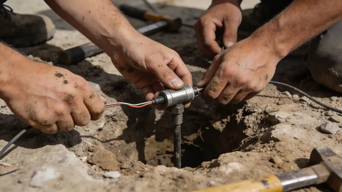
Our geotechnical engineering methodology in Missoula begins with a comprehensive site reconnaissance and review of existing geological data. We then perform subsurface investigations, including spt boring, to characterize soil stratification and groundwater conditions. Field testing follows ASTM D1586 standards, with sample intervals typically every 1.0 to 1.5 meters. Laboratory testing on recovered samples includes grain size distribution, Atterberg limits, and triaxial shear strength. Our team integrates this data with site-specific seismic hazard analyses to develop foundation recommendations tailored to Missoula's unique subsurface conditions.
Reference Technical Parameters
| Parameter | Reference Value |
|---|---|
| Predominant soil type | Alluvial sands and gravels with interbedded silts and clays |
| Maximum seismic acceleration (PGA) | 0.2g to 0.3g (ASCE 7 seismic site class D) |
| Typical groundwater level | 5 to 15 feet below ground surface (varies seasonally) |
| Bedrock depth | 20 to 100+ feet (granitic and metamorphic bedrock) |
| Typical N60 range | 10 to 50 blows per foot (variable with soil type) |
Local Considerations — Missoula
Missoula's geology is dominated by glacial Lake Missoula sediments, including the varved clays and silts of the Grant Creek Formation, which can exhibit low bearing capacity and high compressibility. In the downtown area, deep alluvial deposits from the Clark Fork River require careful groundwater management. Seismic site class D is common, with peak ground accelerations up to 0.3g per ASCE 7. Our experience includes projects in the Rattlesnake and South Hills neighborhoods, where shallow bedrock necessitates rock excavation. For specialized studies, our soil mechanics laboratory provides advanced testing for these challenging conditions. The company's primary hub is geotechnical engineering in Seattle, from which we coordinate regional operations.
Request a Quote
Our team reviews your project and issues an initial report at no cost.
Or write us directly at [email protected]
Services in Missoula
Applicable Standards
- ASTM D1586 (Standard Test Method for SPT)
- ASCE 7 (Minimum Design Loads for Buildings)
- IBC (International Building Code)
- Montana State Building Code
- ASTM D2487 (Unified Soil Classification System)
Frequently Asked Questions
What soil types are commonly encountered in Missoula?
Missoula typically features alluvial sands and gravels from the Clark Fork River, along with glacial lake deposits of varved clays and silts. In hillside areas, colluvial soils and weathered bedrock are common. These variable conditions require site-specific geotechnical investigation.
Is geotechnical engineering required for residential construction in Missoula?
Yes, the City of Missoula and Missoula County typically require a geotechnical report for new residential construction, especially in areas with expansive soils, high groundwater, or steep slopes. This ensures compliance with the Montana State Building Code and ASCE 7 seismic provisions.
How does seismic design affect foundation recommendations in Missoula?
Missoula lies in a region of moderate seismicity, with seismic site class D being common. Design peak ground accelerations range from 0.2g to 0.3g. Soils prone to liquefaction or cyclic softening require special foundation solutions such as deep foundations or ground improvement to meet ASCE 7 requirements.