Methodology
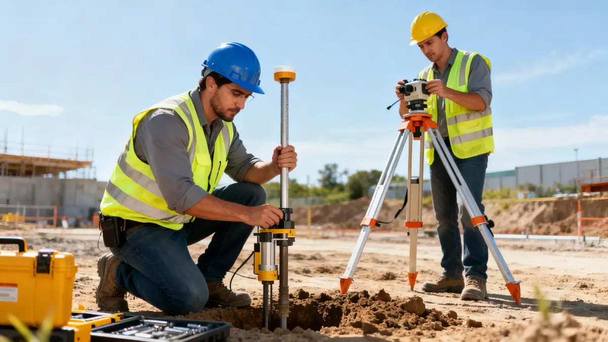
Our firm's approach to geotechnical engineering in Peoria Illinois begins with a thorough review of existing geological maps and historical data. We then deploy field investigation programs that often include spt boring to retrieve disturbed and undisturbed samples at regular intervals, as per ASTM D1586. Laboratory testing on recovered specimens follows, focusing on index properties, strength, and consolidation parameters. For slope stability assessments, we utilize limit equilibrium methods and finite element modeling, calibrated against local conditions. Seismic hazard analyses incorporate the latest USGS data and ASCE 7 provisions, adjusting for the regional site class. This multi-phase methodology ensures that all subsurface uncertainties are addressed, providing clients with reliable design parameters for foundations, retaining walls, and earthworks.
Reference Technical Parameters
| Parameter | Reference Value |
|---|---|
| Predominant soil type | Glacial till (silty clay, clayey silt) with interbedded sands and gravels |
| Maximum seismic acceleration (PGA) | 0.15–0.25 g (Site Class D, per ASCE 7) |
| Typical groundwater level | 3–6 m below ground surface, varies seasonally |
| Bedrock depth | 15–30 m (shallow in northern Peoria, deeper south) |
| Typical N60 range | 10–30 blows/ft (glacial till), 5–15 blows/ft (alluvial deposits) |
Local Considerations — Peoria Illinois
Peoria Illinois lies within the Illinois River Valley, underlain by glacial till and alluvial deposits. The predominance of fine-grained soils, such as silty clays, requires careful assessment of shrink-swell potential and consolidation behavior. Groundwater levels fluctuate with river stages, demanding seasonal monitoring for foundation design. Seismic hazard is moderate, with a maximum considered earthquake PGA of 0.15–0.25 g for Site Class D, per ASCE 7-16. Older industrial areas near the river may contain undocumented fill, while newer developments on the bluffs encounter stiff till. Common challenges include slope stability along bluffs and differential settlement on compressible soils. Our firm integrates these local factors into every investigation, often in coordination with our soil mechanics laboratory to provide precise soil parameters. For projects requiring regional oversight, we coordinate with our geotechnical engineering en Chicago team.
Request a Quote
Our team reviews your project and issues an initial report at no cost.
Or write us directly at [email protected]
Services in Peoria Illinois
Applicable Standards
- ASTM D1586 (Standard Penetration Test)
- ASCE 7-16 (Minimum Design Loads and Associated Criteria for Buildings and Other Structures)
- IBC 2021 (International Building Code)
- Illinois Department of Transportation (IDOT) geotechnical manuals
- USGS Seismic Hazard Maps for Illinois
Frequently Asked Questions
What types of soil are commonly found in Peoria Illinois?
Peoria's subsurface is dominated by glacial till, consisting of silty clay and clayey silt with interbedded sand and gravel lenses. Alluvial deposits along the Illinois River include loose sands and soft clays. These soils require careful evaluation for settlement and bearing capacity.
Is a seismic analysis required for projects in Peoria Illinois?
Yes, per ASCE 7-16 and IBC 2021, seismic analysis is required for most structures in Peoria, which falls under Seismic Design Category B or C depending on site class. Peak ground acceleration ranges from 0.15 to 0.25 g, necessitating site-specific response spectra for critical facilities.
Are geotechnical investigations mandatory for building permits in Peoria?
While not always explicitly required, most local jurisdictions in Peoria County expect a geotechnical report for commercial and multi-family projects. The IBC recommends subsurface investigations to determine soil bearing capacity, groundwater levels, and seismic site class, which are essential for safe design.