Methodology
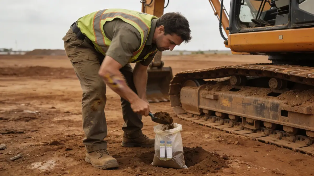
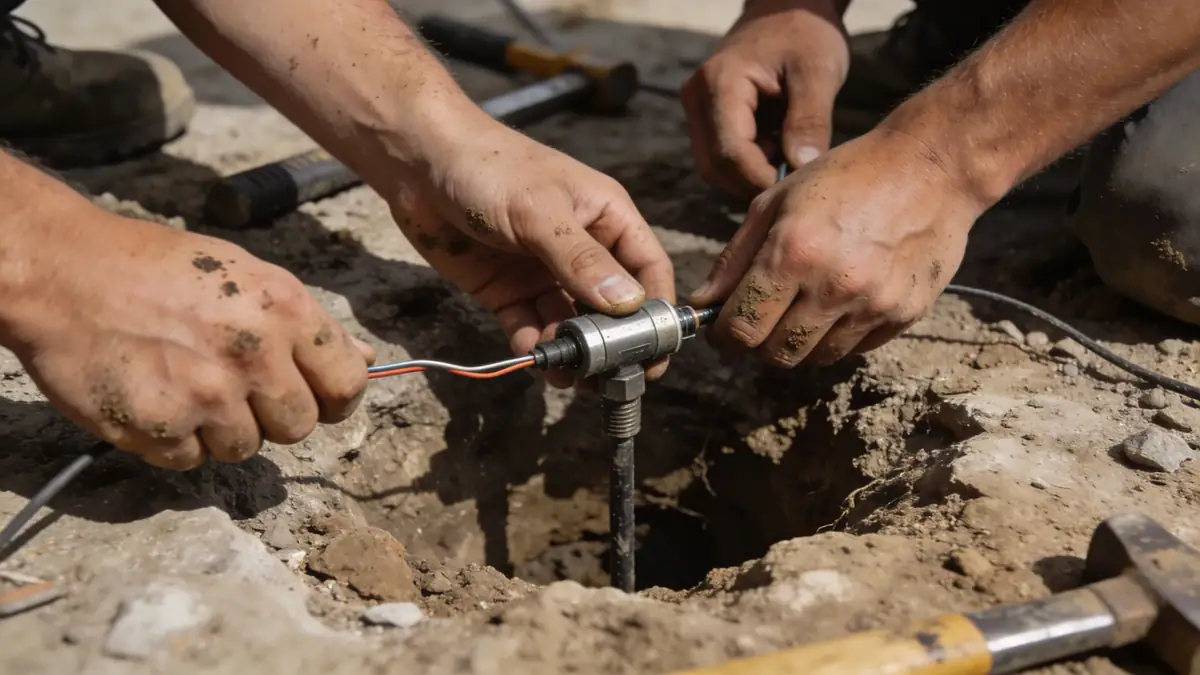
Our methodology for geotechnical engineering in Plano Texas begins with a comprehensive review of regional geologic maps and previous subsurface data. We then develop a site-specific exploration plan that incorporates standard penetration testing (SPT) per ASTM D1586, continuous sampling, and laboratory classification. Fieldwork includes drilling boreholes to depths sufficient to characterize the full soil profile, typically 8 to 15 meters for residential structures and up to 30 meters for industrial facilities. Soil samples are subjected to index property tests, including natural moisture content, Atterberg limits, and grain size distribution. Our team also conducts in-situ tests such as pocket penetrometer readings and vane shear tests where appropriate. All data is synthesized into a detailed geotechnical report with foundation recommendations tailored to Plano's conditions. For more on our exploration techniques, see our spt boring service.
Reference Technical Parameters
| Parameter | Reference Value |
|---|---|
| Predominant soil type | Clay (expansive) with sand and silt lenses |
| Maximum seismic acceleration (PGA) | 0.10 g (ASCE 7-16 Site Class D) |
| Typical groundwater level | 3–6 meters below ground surface |
| Bedrock depth | 10–25 meters (Eagle Ford Shale) |
| Typical N60 range | 8–25 blows per 0.3 m |
Local Considerations — Plano Texas
Plano Texas lies within the Blackland Prairie physiographic region, underlain by Upper Cretaceous marine sedimentary rocks. The dominant soil type is expansive clay (Houston Black series), which poses significant shrink-swell risk to slab-on-grade foundations. Seasonal moisture changes can cause vertical movements exceeding 5 cm. Shallow groundwater is encountered between 3 and 6 meters, with perched water common after heavy rains. Seismic hazard is low but not negligible; the 2023 International Building Code with Texas amendments requires site-specific response spectra for certain structures. Northern Plano near the Collin County line features more sandy soils, while southern areas have deeper clay profiles. Typical challenges include foundation cracking due to differential movement and pavement distress on clay subgrades. Our firm's experience in the region includes numerous residential and commercial projects, and we coordinate closely with our geotechnical engineering en Houston office for regional best practices.
Request a Quote
Our team reviews your project and issues an initial report at no cost.
Or write us directly at [email protected]
Services in Plano Texas
Applicable Standards
- ASTM D1586 (Standard Penetration Test)
- ASCE 7-16 (Minimum Design Loads for Buildings)
- International Building Code 2023 (Texas Amendments)
- ASTM D2487 (Unified Soil Classification System)
- ASTM D4318 (Atterberg Limits)
Frequently Asked Questions
What are the typical soil conditions in Plano Texas?
Plano Texas predominantly features expansive clay soils, primarily Houston Black series, with occasional sand and silt lenses. These clays have high plasticity and significant shrink-swell potential, requiring careful geotechnical evaluation for foundation design. Deeper layers often include weathered shale bedrock at depths of 10 to 25 meters.
Is a geotechnical study required for construction in Plano Texas?
Yes, most municipalities in Collin County, including Plano, require a geotechnical investigation for new buildings and major additions. The study must comply with the International Building Code and local amendments, addressing soil bearing capacity, settlement, and expansive soil mitigation. Our firm provides reports that satisfy all regulatory requirements.
How does seismic activity affect geotechnical design in Plano Texas?
Plano Texas is in a low seismic zone (PGA 0.10 g), but seismic site classification per ASCE 7 is still necessary for certain structures. Site Class D (stiff soil) is typical, which may amplify ground motions. Liquefaction potential is low due to cohesive soils, but dynamic settlement in loose sands should be evaluated for deep foundations.