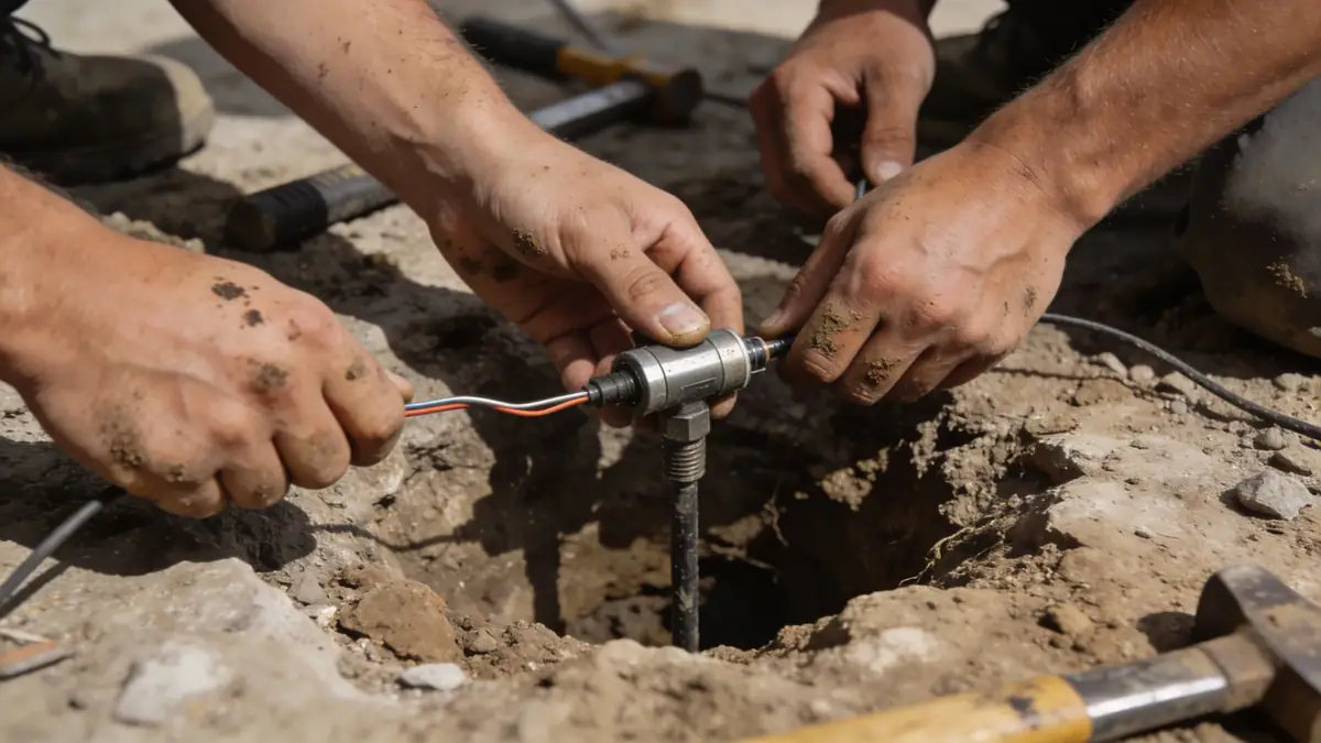
Methodology

Our methodology for geotechnical engineering in San Bernardino follows a phased approach. We begin with a desk study of existing geologic maps and fault data, then conduct field investigations including spt boring with standard penetration tests per ASTM D1586 at 1.5 m intervals to 15 m depth. Laboratory testing on representative samples determines grain size, Atterberg limits, and shear strength. Seismic hazard analysis incorporates the USGS national seismic hazard maps and site-specific response spectra. Data are synthesized into a geotechnical report with recommendations for shallow and deep foundations, slab-on-grade, and lateral earth pressures.
Reference Technical Parameters
| Parameter | Reference Value |
|---|---|
| Predominant soil type | Silty sand and gravel (alluvial fan deposits) |
| Typical groundwater depth | 10–30 m (deeper in alluvial fans) |
| Maximum considered earthquake PGA (0.2 s) | 0.8g (Site Class D, per ASCE 7) |
| Typical N60 range (SPT) | 10–30 blows/ft (medium dense to dense) |
| Bedrock depth | Variable; >100 m in valley, shallow at mountain front |
Local Considerations — San Bernardino
San Bernardino's alluvial soils vary from coarse fan deposits near the mountains to finer basin fill toward the valley center. Seismic site classification per ASCE 7 typically yields Site Class D or E, requiring site-specific response analysis. The San Andreas fault zone 5 km north and San Jacinto fault 10 km south impose high seismic demand. Local ordinances require geotechnical reports for new construction. For regional context, our geotechnical engineering en Los Angeles team addresses similar basin geology. Additionally, our soil mechanics laboratory supports San Bernardino projects with custom testing.
Request a Quote
Our team reviews your project and issues an initial report at no cost.
Or write us directly at [email protected]
Services in San Bernardino
Applicable Standards
- ASTM D1586
- ASCE 7-22
- California Building Code (CBC) 2022
- City of San Bernardino Grading and Erosion Control Ordinance
Frequently Asked Questions
What are the typical soil conditions in San Bernardino?
Soils are predominantly alluvial sands and gravels from the San Bernardino Mountains, with silty layers in floodplains. Groundwater is generally deep (>10 m), but shallow zones exist near the Santa Ana River. Collapsible soils may be present in some alluvial fans.
How does seismic activity affect geotechnical design in San Bernardino?
San Bernardino lies near the San Andreas and San Jacinto faults, with peak ground accelerations up to 0.8g. ASCE 7 requires site-specific response spectra for Site Class D or E soils. Liquefaction and fault rupture hazards are evaluated per CBC Chapter 16.
Are geotechnical studies required for residential construction in San Bernardino?
Yes, the City of San Bernardino requires a geotechnical report for most new buildings, additions, and grading projects. Reports must address soil bearing capacity, seismic settlement, and lateral earth pressures for retaining walls, per CBC and local ordinance.